top of page


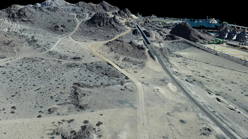
Generamos un conjunto de vértices en un sistema de coordenadas tridimensionales y georreferenciadas, que representan fidedignamente la superficie de un terreno. Su propósito es ayudar a obtener rápidos resultados, de mejor calidad y con mayor nivel de detalle, para así disminuir los tiempos en el ciclo del proyecto, y obtener datos sin obstáculos.
Galería
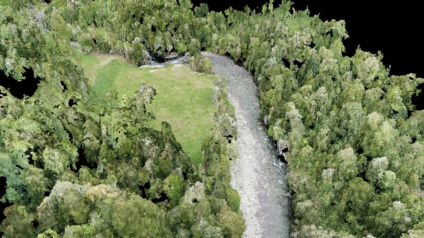
RÍO MAÑÍO
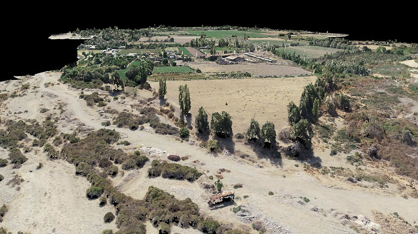
PANGUIPULLI
CHACRA EL MOLINO
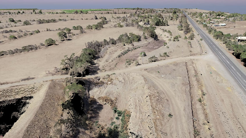
SAN FELIPE
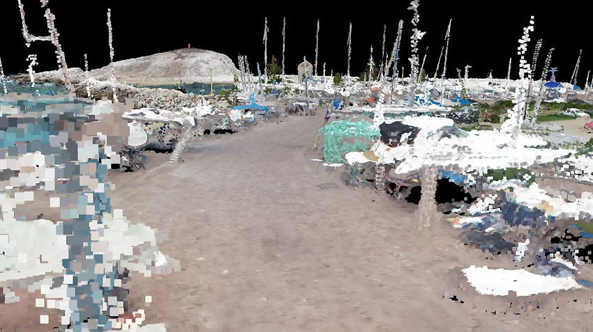
COFRADÍA NAÚTICA DEL PACÍFICO
ALGARROBO
NOGALES III
COLINA
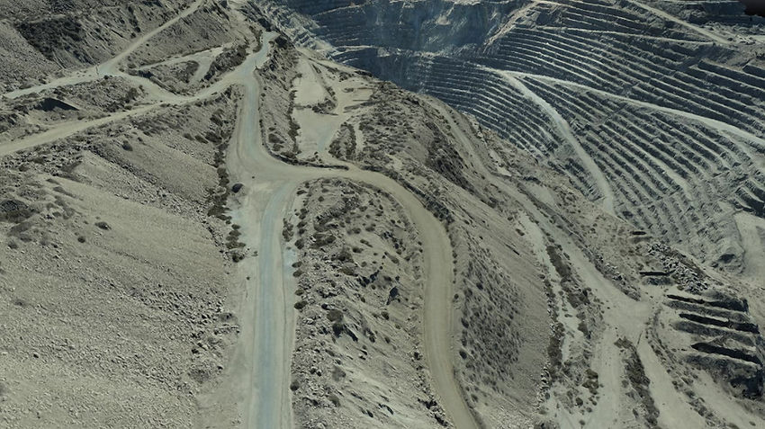
CMP-EL ROMERAL
LA SERENA
CMP-PLANTA DE PELLETS HUASCO
bottom of page